Trusted by enterprises across the globe


Designed for all your training needs

Flexible On-Demand Group Learning
Flexible, corporate learning for groups, accessible anytime, anywhere.

Instructor-Led Live, Online Training
Real-time, interactive classes taught by SME via web conferencing.

Independent Self-Paced Learning
Individual learning at your own speed, with access to digital materials.

Customized On-Site Training
Customized, face-to-face training sessions delivered at your location.
Curriculum Designed by Experts
Our Civil 3D for Infrastructure Design Professional Prep Corporate Training equips professionals with advanced skills in Civil 3D for infrastructure design. This course covers terrain modeling, corridor design, pipe networks, and project visualization. Led by industry experts, it prepares teams for real-world projects, enhancing efficiency and precision in infrastructure development.
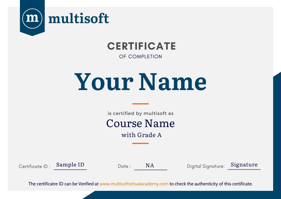
Once candidates enroll for themselves for Multisoft Virtual Academy’s Civil 3D for Infrastructure Design Professional Certification Prep course then will be getting lifetime access to the online learning environment, digital course materials, round-the-clock after-training support, and video recordings, and once the complete the course successfully candidates will earn globally recognized certificate.
- Module overview
- Introduction to points
- Create COGO Points
- Specify point parameters
- Assign point styles and point label styles
- Create description key sets
- Rotate point markers and labels
- Create and assign point styles
- Create and assign point label styles
- Edit point properties
- Create point groups
- Change point group display order
- Introduction to the surveying tools
- Work with linework code sets
- Set up a survey database
- Work with the survey figure prefix database
- Module overview
- Work with the Traverse Editor
- Perform a mapcheck analysis
- Introduction to parcel creation
- Create parcels by layout
- Create parcels from objects
- Subdivide existing parcels
- Associate parcels with sites
- Work with parcels
- Label parcels
- Create parcel tables
- Renumber and rename parcels
- Create and modify parcel styles
- Create and modify parcel label styles
- Delete parcels
- Practice exercise
- Module overview
- Introduction to surfaces
- Define surfaces with data categories
- Control the display of a surface
- Define surface boundary types
- Access and review surface statistics
- Create a TIN surface
- Edit a TIN surface
- Edit the properties of a surface definition
- Create a TIN volume surface
- Create surface labels
- Add contour labels
- Module overview
- Use surface analysis
- Set analysis parameters for surfaces
- Perform a surface analysis
- Create feature lines
- Edit horizontal data for feature lines
- Edit elevations for feature lines
- Work with objects on same site
- Create and modify sites
- Create grading groups
- Create grading with grading creating tools
- Work with grading criteria
- Practice exercise
- Module overview
- Introduction to alignments
- Create alignments with and without curves
- Add curves, lines, and spirals to an alignment
- Create alignments from objects
- Create an alignment from a pipe network
- Create offset alignments
- Create widenings for an alignment
- Create a surface profile
- Create a profile view
- Compare components of a profile view
- Identify object types in a profile view
- Module overview
- Create a profile with the Quick Profile tool
- Split a profile view
- Create and modify a profile
- Edit layout profiles
- Work in the profile grid view
- Add a vertical curve to a profile
- Grip edit a profile
- Add labels to profile views and alignments
- Add station offset labels to alignments
- Create tag labels for alignments
- Add label sets to alignments and profiles
- Add and edit alignment tables
- Practice exercise
- Challenge exercise
- Module overview
- Create basic assemblies
- Create a corridor
- Rebuild a corridor
- Create a multiple baseline corridor
- Set targets for corridors
- Remove corridor bowties
- Create objects from a corridor
- Create sample lines
- Edit sample lines
- Create section views
- Create section sheets
- Compute materials
- Practice exercise
- Challenge exercise
- Module overview
- Review the part catalog and parts list
- Set the part catalog location
- Add and modify parts
- Create a pipe network
- Edit a pipe network
- Place a pipe network in a profile
- Annotate plan and profile pipe networks
- Modify the pipe network flow direction
- Review the pressure parts catalog
- Create a pressure network parts list
- Create and edit a pressure network
- Place a pressure pipe network in a profile
- Annotate plan and profile of the pressure pipe network
- Practice exercise
- Module overview
- Create view frames
- Create a sheet from a view frame group
- Use data shortcuts and external references
- Manage data shortcuts
- Create a data reference
- Practice exercise
Free Career Counselling
We are happy to help you 24/7Multisoft Corporate Training Features
Outcome centric learning solutions to meet changing skill-demand of your organizationWide variety of trainings to suit business skill demands
360° learning solution with lifetime access to e-learning materials
Choose topics, schedule and even a subject matter expert
Skilled professionals with relevant industry experience
Customized trainings to understand specific project requirements
Check performance progress and identify areas for development
Free Civil 3D for Infrastructure Design Professional Prep Training Assessment
Right from the beginning of learning journey to the end and beyond, we offer continuous assessment feature to evaluate progress and performance of the workforce.
Try it Now

Civil 3D for Infrastructure Design Professional Prep Training Certification
Related Courses
A Role Based Approach To Digital Skilling
A roadmap for readying key roles in your organization for business in the digital age.
 Download Whitepaper


 Join our Live Instructor-Led online classes delivered by industry experts